Arctic Front Brings Snow Squalls And Deep Cold
Read, Watch or Listen
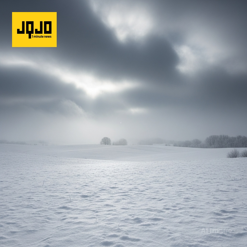
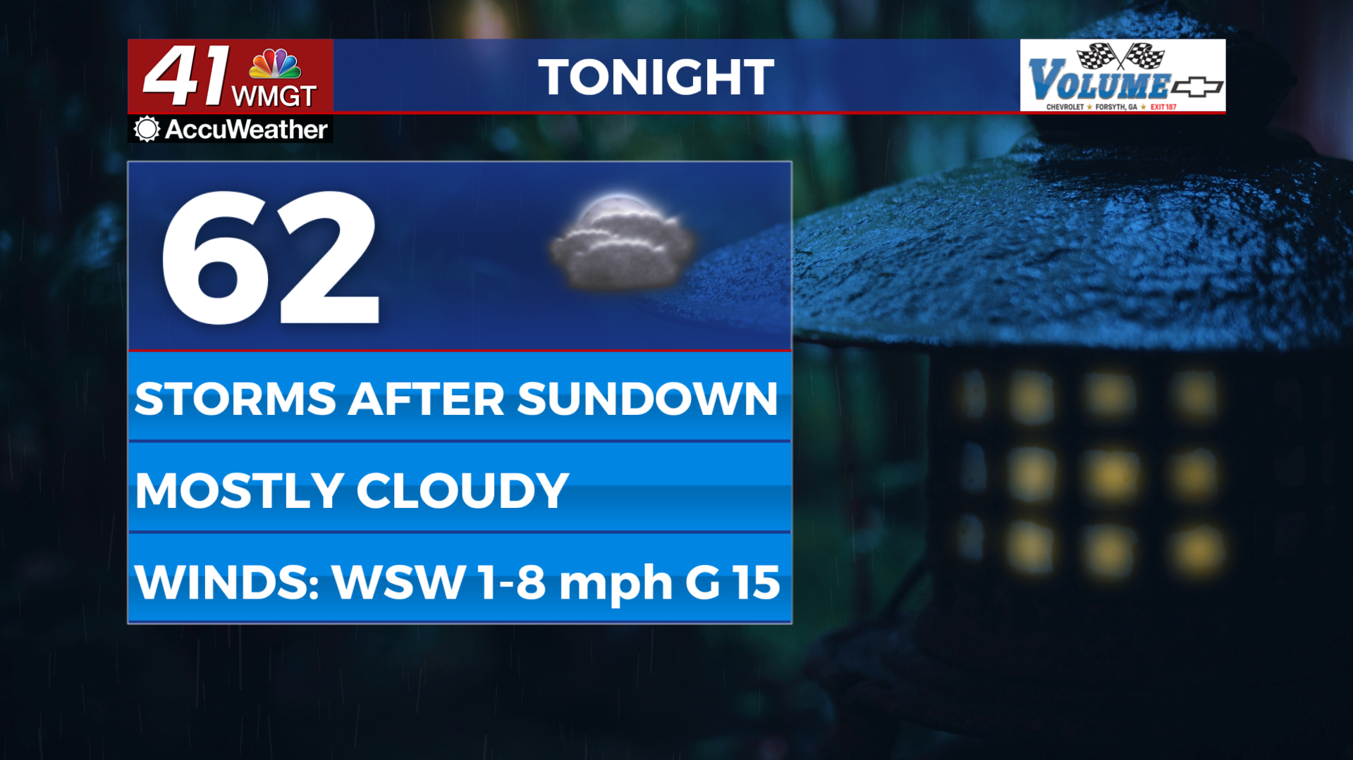
United States meteorologists warned of an advancing arctic front this week, producing widespread temperature plunges, light snow, and snow squalls that could disrupt travel. Local TV forecasts from multiple markets reported highs falling from the 30s into the teens and single digits overnight, periods of flurries or dustings to around an inch, and pockets of blowing snow near the Great Lakes. Agencies advised caution for slick roads and hazardous wind chills as high pressure follows with cold conditions. Forecasts cite model guidance, surface observations and satellite imagery to time impacts, update warnings. Based on 11 articles reviewed and supporting research.
Prepared by Olivia Bennett and reviewed by editorial team.
Timeline of Events
- Arctic low near Hudson Bay sets up an airmass change (baseline large-scale pattern).
- Cold front advances from the Upper Midwest into central U.S. markets, triggering falling temperatures.
- Wednesday: local forecasts issue expectations for flurries, dustings, and isolated snow squalls.
- Wednesday night–Thursday: front passages produce light snow, blowing snow near lakes, and rapid temperature drops.
- Thursday night into Friday: single-digit lows and dangerous wind chills reported; high pressure then brings drier, cold conditions.
- Articles Published:
- 11
- Right Leaning:
- 1
- Left Leaning:
- 0
- Neutral:
- 10
- Distribution:
- Left 0%, Center 91%, Right 9%
Municipal services, utility crews, and emergency responders benefited by receiving advance notice to pre-deploy resources and treat roads before the cold blast.
Commuters, outdoor workers, and vulnerable populations suffered increased risk from icy roads, extreme wind chills, and potential service disruptions during the coldest periods.
Coverage of Story:
From Left
No left-leaning sources found for this story.
From Center
Arctic Front Brings Snow Squalls And Deep Cold
https://www.25newsnow.com WKEF https://www.wvlt.tv WJLA https://www.12onyourside.com WKEF WISH-TV | Indianapolis News | Indiana Weather | Indiana Traffic WKBW WSMV Nashville https://www.ksnblocal4.com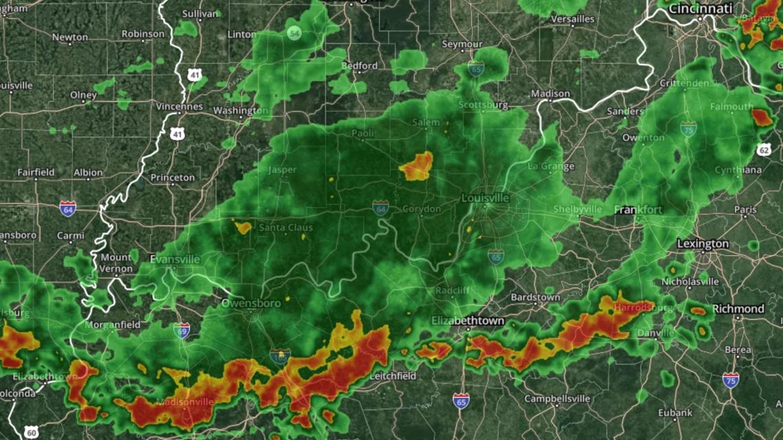


Comments