Southeast braces for multi-day rain, cooler temperatures ahead
Read, Watch or Listen

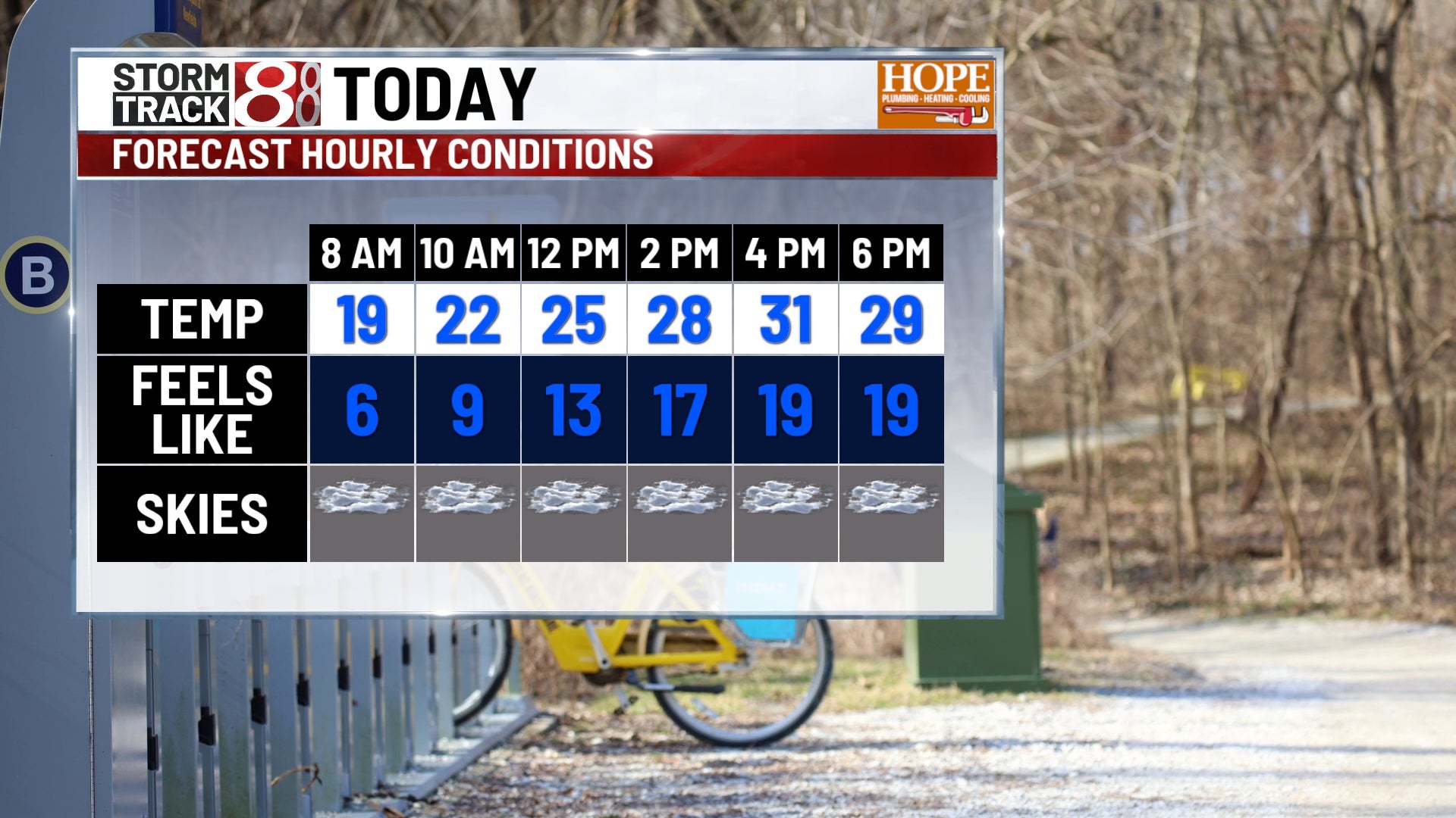
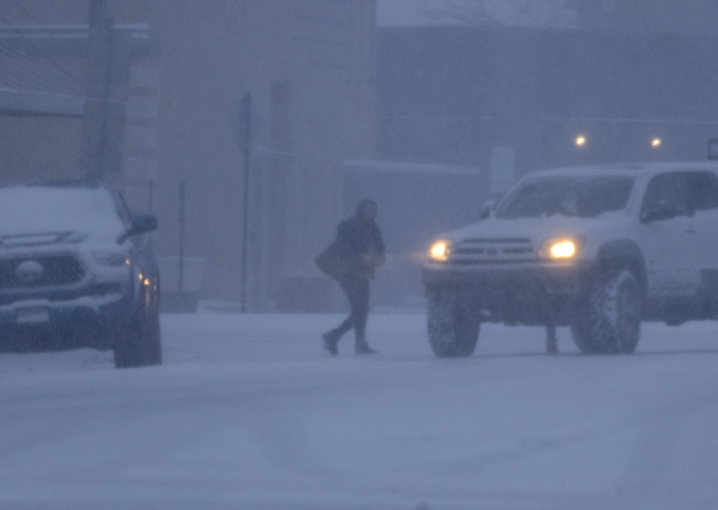
Southeast U.S. — Multiple southern-tracking storm systems are bringing steady rain and cooler temperatures across the region. Meteorologists reported that low pressure moving along the Gulf coast will produce widespread rain late Monday into Tuesday, with heavier downpours overnight and potential localized sleet in northwest Alabama. Forecasted rainfall totals generally range from one to two inches, with pockets reaching three to four inches. Authorities advised drivers to expect slower evening commutes and warned of elevated rip current risk along Gulf beaches. Temperatures will fall into the 30s and 40s overnight early midweek beyond. Based on 11 articles reviewed and supporting research.
Prepared by Olivia Bennett and reviewed by editorial team.
Timeline of Events
- Prior weeks: some regions (e.g., Middle Georgia) experienced drier than normal conditions.
- Late Sunday/Monday: a cold front and increasing clouds signaled change.
- Late Monday into Tuesday: low pressure near the Gulf produced widespread rain and heavier overnight downpours.
- Tuesday morning: travel impacts and coastal rip current warnings occurred as rain tapered.
- Midweek: colder air arrived, causing overnight lows to drop into the 30s and near freezing in some locations.
- Articles Published:
- 10
- Right Leaning:
- 0
- Left Leaning:
- 0
- Neutral:
- 10
- Distribution:
- Left 0%, Center 100%, Right 0%
Agriculture and water managers benefited from measurable rainfall that improves soil moisture and helps replenish reservoirs after recent dry conditions.
Commuters and coastal residents suffered travel delays and elevated rip current and coastal hazard risks during heavy overnight downpours.
Coverage of Story:
From Left
No left-leaning sources found for this story.
From Center
Southeast braces for multi-day rain, cooler temperatures ahead
https://www.wbrc.com https://www.mysuncoast.com WMBF News WAFB https://www.wsfa.com FOX10 News https://www.wbtv.com https://www.wsfa.com FOX10 News 41NBC News | WMGT-DTFrom Right
No right-leaning sources found for this story.


Comments