Montana Weather: Atmospheric River Brings Wind, Flood Threats
Read, Watch or Listen
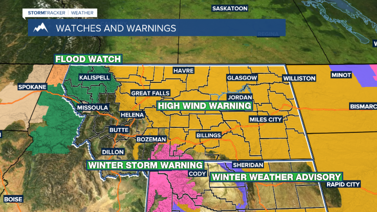
Billings, Montana: Strong winds and an atmospheric river impacted Montana this week, triggering high wind warnings, flood watches and winter advisories across the state from northwest Montana to the eastern plains. Agencies measured gusts up to 96 mph and 60–80 mph across regions, heavy mountain snow and rain-to-snow transitions that prompted additional winter storm watches and localized flood concerns. Forecasters urged residents to secure outdoor items, warned of gusty downslope winds through Thursday, and forecast a sharp temperature drop later in the week while snow levels fluctuate. Warnings remain active. Based on 6 articles reviewed and supporting research.
Prepared by Olivia Bennett and reviewed by editorial team.
Timeline of Events
- Monday: Strong gusts reported across parts of Montana; High Wind Warnings issued.
- Tuesday: Gusts up to 96 mph observed; Winter Weather Warnings in high-elevation zones.
- Wednesday: Rain develops west of the divide; Flood Watches issued in NW Montana.
- Thursday: Atmospheric river shifts south; rain changes to snow in colder air.
- Saturday: Continued monitoring as winter storm watches and flood concerns persist.
- Articles Published:
- 11
- Right Leaning:
- 0
- Left Leaning:
- 0
- Neutral:
- 11
- Distribution:
- Left 0%, Center 100%, Right 0%
Emergency management agencies and communities that prepared benefited by reducing potential damage and ensuring quicker response.
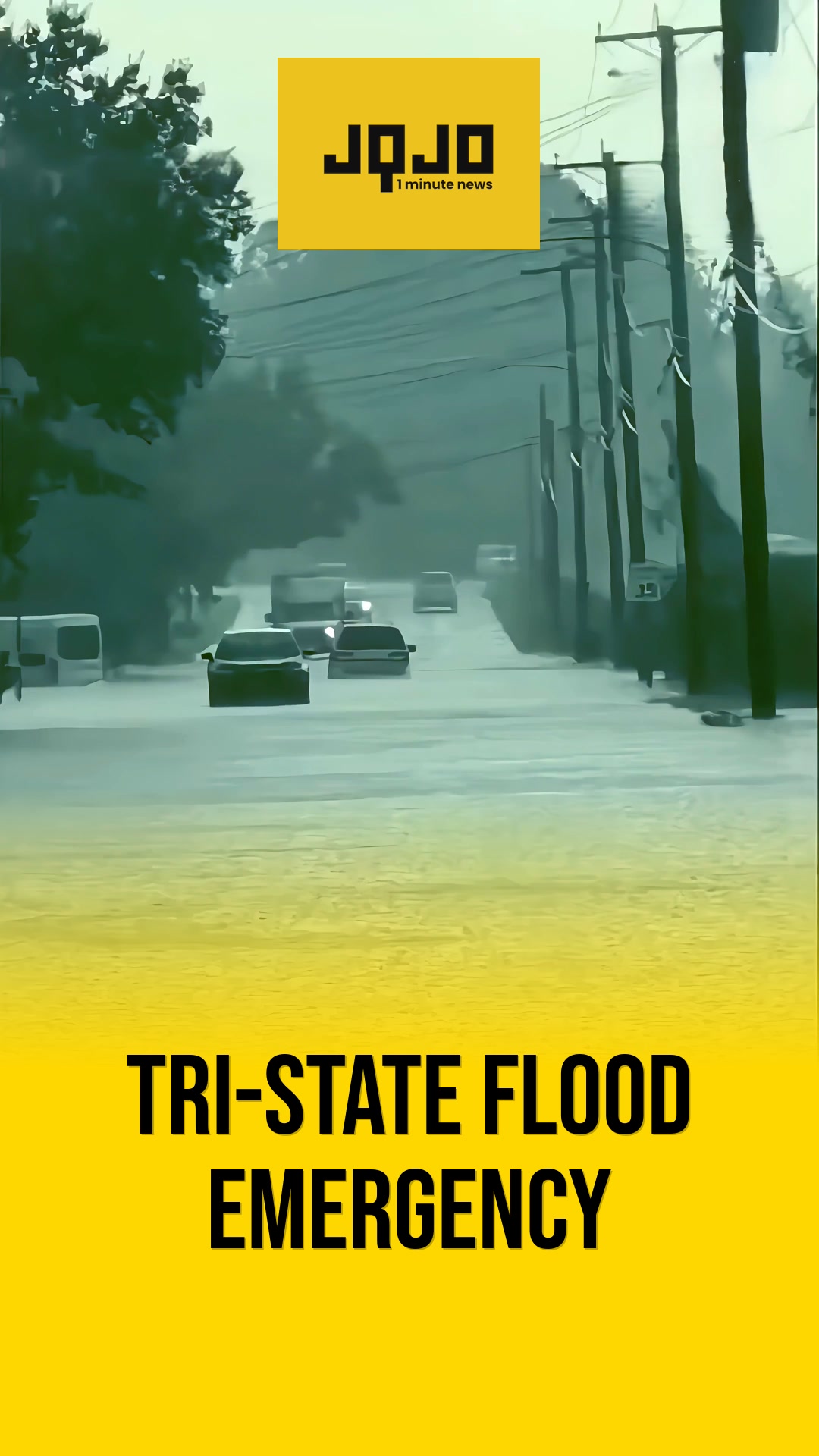
Residents, motorists, and low-lying communities experienced travel disruptions, property damage risk, and flooding threats.


Comments